The traditional SmartCity Business Brasil 2025 event will be held in São Paulo on the same date and location as MundoGEO. Participants of the meeting aimed at city governments will have free access to the MundoGEO Connect, DroneShow Robotics, SpaceBR Show and Expo eVTOL exhibitions
In 2025, the new municipal administrations promise significant investments in cadastral surveys and mapping. This information is essential for managing the various systems of a city, such as infrastructure, health, education and security, with the aim of meeting the needs of the population.
In smart cities, geospatial information is necessary for scenario analysis and improvement of urban services. Geographic Information Systems (GIS), BIM and emerging concepts such as the Internet of Things (IoT), generative design, digital twins, management of large data sets (big data) and artificial intelligence are essential for decision-makers in city governments..
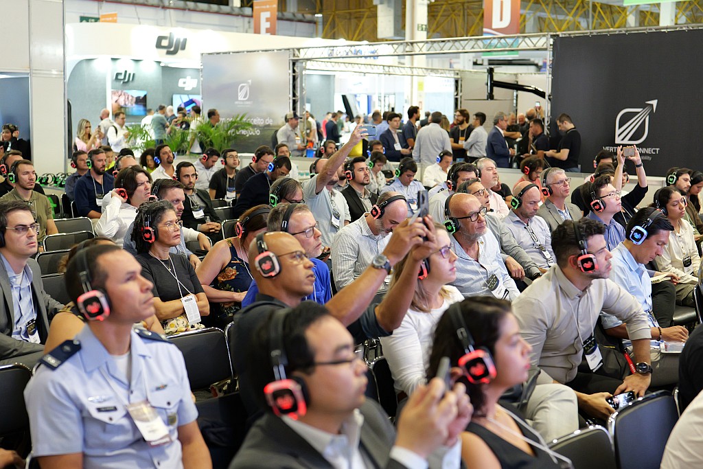
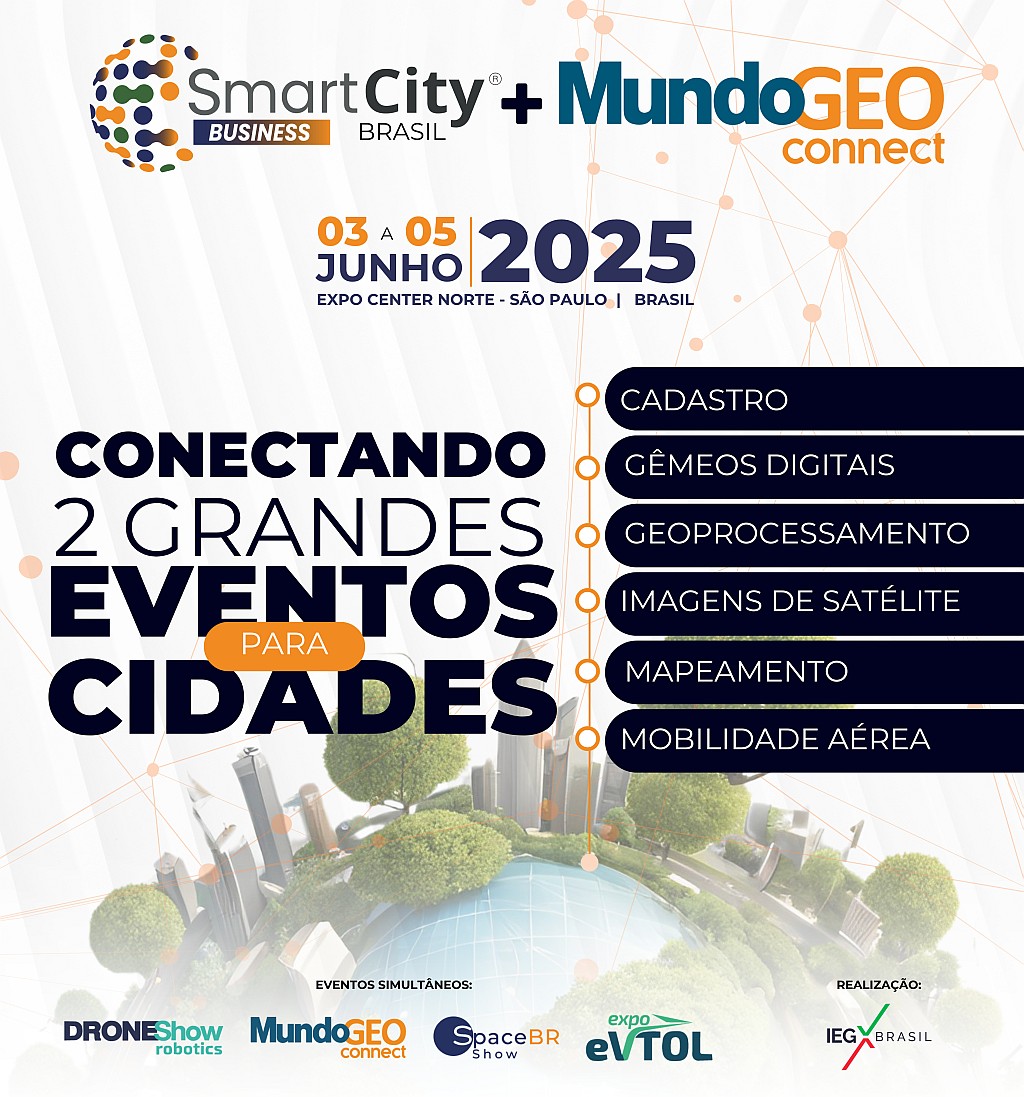
In 2025, the SmartCity Business Brasil event (June 3 and 4) will take place simultaneously with MundoGEO Connect, DroneShow Robotics, SpaceBR Show and Expo eVTOL (June 3 to 5), in neighboring pavilions of the Expo Center Norte, in São Paulo (SP). Thus, MundoGEO 2025 will allow participants of the SmartCity Business Brasil event to also visit the geospatial technology, drones, space and eVTOLs exhibition, which will be a great opportunity for interaction between professionals who work with city governments.

In addition to the exhibition, featuring over 200 brands, the various activities focused on this theme will be a unique opportunity for technological updates, inspiration for innovative solutions and the promotion of good business. In total, 2 forums, 5 seminars, 10 courses, 9 workshops and a business roundtable between buyers and sellers of products and services will be offered.

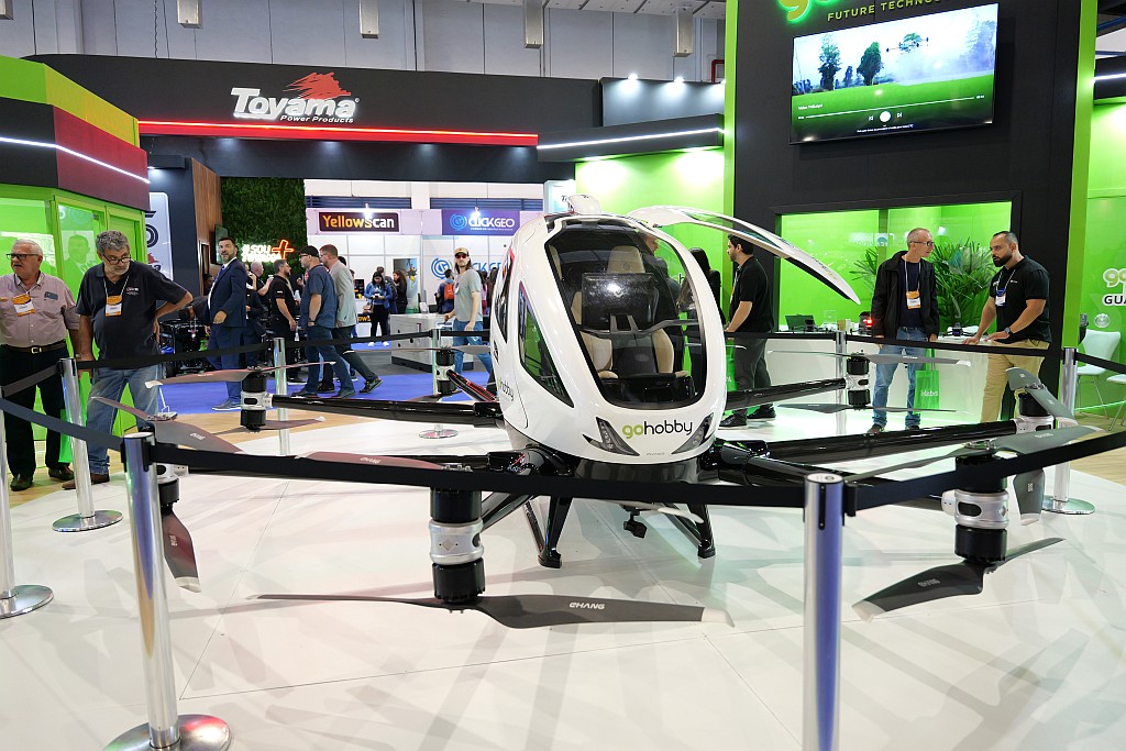
In parallel with the MundoGEO Connect exhibition, focused on geospatial technologies, there will be the DroneShow Robotics, which presents numerous applications of drones in the municipal environment, the SpaceBR Show, with mapping and territorial monitoring technologies via satellite, and the Expo eVTOL, with innovative Urban Air Mobility solutions.
Follow the progress of the events, the exhibition floor plan and the program of activities on the websites:

Check out a summary of the latest edition of the MundoGEO event:


